Inner Ring Road East
Note that you can click on any old picture to see a larger version
Lancaster Place from Lancaster St
|
|
 |
 |
| 1962 |
2006 |
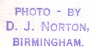
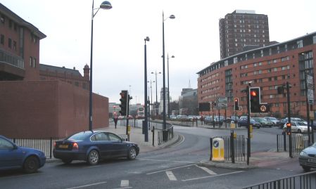
| The big open space of Lancaster Place that used to be in front of the Halfords building provided an opportunity to create a major junction for the Inner Ring Road and Lancaster Circus Queensway was that junction. A huge concrete flyover carries the A38 off to the Gravelly Hill Interchange, otherwise known as Spaghetti Junction. | |
Corporation St Nr Technical College
|
|
 |
 |
| 1962 |
2006 |
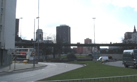
| The
technical college mentioned by my father was Gosta Green College of
Technology, later to become known as Aston University. The modern scene is dominated by the flyover carrying the A38. Turrets on the General Hospital (1962) / Children's Hospital (2006) can be seen on both pictures. |
|
Corporation St Nr Central Fire Station
|
|
 |
 |
| 1961 |
2005 |
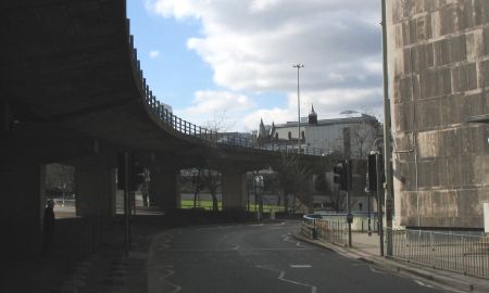
| My
apologies for this one - the council have planted trees and have ruined
my modern photo! I can assure you that the office block that was
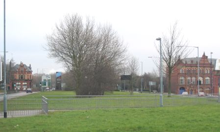
Halfords in 1961 is still there... The big open space of Lancaster Place that used to be in front of the Halfords building provided an opportunity to create a major junction for the Inner Ring Road and Lancaster Circus Queensway was that junction. A huge concrete flyover carries the A38 off to the Gravelly Hill Interchange, otherwise known as Spaghetti Junction. The Central Fire Station is the building on the right of both pictures. |
|
Stafford St
|
|
 |
 |
| 1962 |
2005 |
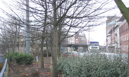
| This one
confused me because the current A to Z did not list a Stafford
Street! Thankfully, the 1950
map once again came to the rescue and I realised that it had been
lost to allow the creation of James Watt Queensway. On the 1962 picture the A47 is crossing from Dale End on the left to Coleshill Street on the right. Stafford Street is disappearing into the distance towards it's junction with Aston Street. Birmingham has long been famous for the being the home of the balti but I was amazed to see an Indian restuarant in 1962! The turret on Central Hall in Corporation Street provides the visual clue to link these two scenes. |
|
Coleshill St / Prospect Row
|
|
 |
 |
| 1961 |
2005 |
| Another
picture that caused me some difficulties! I could locate
Coleshill Street but Prospect Row no longer existed and was nowhere to
be seen on my favourite map. Thankfully, an 1883 map of the city
helped me arrive at this location. I expected to find nothing left of the buildings that can be seen in the 1961 picture so I was delighted to see the old factory on the right still standing. It didn't last for long though - see my Old Brum Burns page... The pub that can be seen on the left of the 2005 picture is the Black Horse and is on the corner of Woodcock Street. This is just out of view in the 1961 picture but I think the turning for the road is just beyond the telephone box. Centre stage in 1961 is an old fashioned gents toilet! |
|
Moor St Ringway
|
|
 |
 |
| 1962 |
2005 |
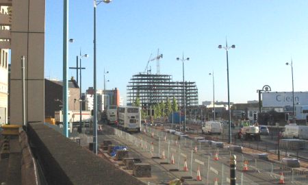
| The 1962
picture shows that this section of ring road was well underway at the
time. However, it's clear that days were numbered for the
buildings in Carrs Lane - they were in the way of progress! You
can also see one of the many subways that were created on this picture. In 2005 this section of ring road has been re-developed yet again. Pedestrian crossings can be seen, part of the City Council's policy to give the city back to the people. A large apartment block is under construction as the Eastside project starts to take shape. Both pictures were taken from a service road at the back of Marks and Spencer's. |
|
 |
 |