Inner Ring Road North
Note that you can click on any old picture to see a larger version
Nr Hall of Memory |
|
 |
 |
| 1961 |
2005 |
| The
splendid building in the centre of the 1961 photo was Britannic
Assurance.
I can't believe anyone would ever even consider demolishing it. Of interest is that there are cranes on both photo's. Birmingham is once again being redeveloped. The very tall building being erected in 2005 is Beetham Tower, Birmingham's tallest building (39 storeys). |
|
Congreve St |
|
 |
 |
| 1962 |
2005 |
| All that
is left to remind us that Congreve Street ever existed is Congreve
Passage that leads off Chamberlain Square. The building you can see in the distance in the 1962 picture is the Shakespeare Pub in Summer Row. I was surprised to see it was still visible in 2005 despite all the changes. |
|
Great Charles St / Congreve St Jct |
|
 |
 |
| 1962 |
2005 |
| Since
Congreve Street was demolished to make way for Paradise Circus there is
little here to tie the pictures together. However, Baskerville
house can be seen in 1962 and in 2005 it's draped in white plastic as
it undergoes a transformation into luxury office space. Now we
care enough about our old buildings to do this. It's a shame we
didn't in the 1960's... |
|
Great Charles St |
|
 |
 |
| 1962 |
2005 |
| The
great tragedy of Great Charles Street is that, even 40 years on, many
of the buildings destroyed have not been replaced. Instead the
area is tatty, open car parks and wasteland. In the misty distance of 1962 you can make out the outline of St Chad's Cathedral. It is more visible in 2005. |
|
Livery St |
|
 |
 |
| 1962 |
2005 |
| At the
junction of Livery Street and Great Charles Street we can see how times
have changed. Now, instead of a simple set of lights, we have an
eight lane highway through the city. |
|
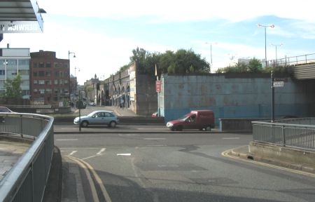
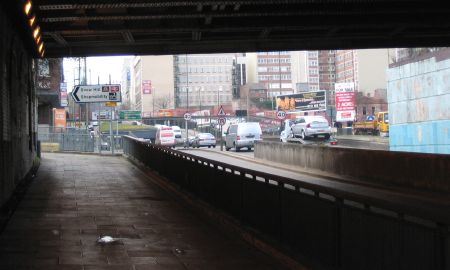
Gt Charles St from Under Railway Bridge
|
|
 |
 |
| 1962 |
2006 |
| Looking
back to the junction of Great Charles St and Livery St shown directly
above, these pictures reinforce the fact that the area never really
recovered from the introduction of the ring road. In the Birmingham Unitary Development Plan (2005) the council say, "The linking of the existing tunnels at Great Charles Street remains a longer-term priority". I reckon more of a wish than a plan! The thinking behind the idea is obviously to try and minimise the impact of the ring road - a bit late for that, I think... |
|
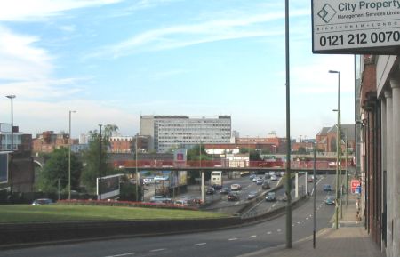
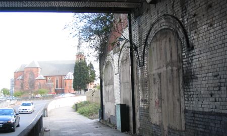
Snow Hill Ringway from Under Railway Bridge |
|
 |
 |
| 1962 |
2006 |
| What my
father refers to as Snow Hill Ringway is what we now know as St Chad's
Circus. This was one scene where the impact of the ring road made it impossible to take an accurate modern shot. However, of interest in the old photo are the windows under the bridge. These were part of Snow Hill Station. They are clearly visible in the picture from 2006. St Chad's Roman Catholic Cathedral is also clear in both pictures. |
|
Loveday St from Corporation St
|
|
 |
 |
| 1962 |
2005 |
| Loveday
Street used to be one, long road and can be seen disappearing into the
distance in 1962. Now it is ripped in two by the Inner Ring Road. The building on the left of the 1962 picture was the General Hospital. It is now the Children's Hospital. |
|
 |
 |