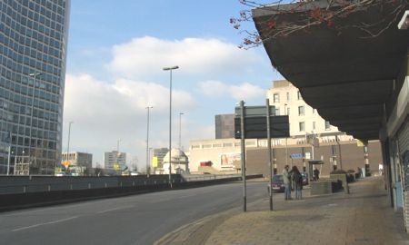
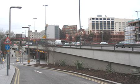
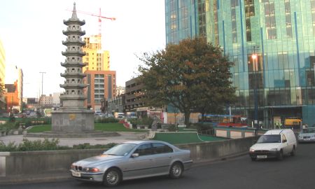
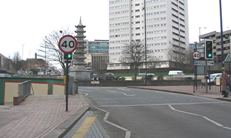
Inner Ring Road West
Note that you can click on any old picture to see a larger version
Easy Row
|
|
 |
 |
| 1962 |
2006 |
| Easy Row
stretched from the northern end of Suffolk St to Great Charles St and
Cambridge St. One side was lined with handsome Georgian
buildings. The name of Easy Row survived until the late 1960's
when Paradise Circus was constructed. Now all that remains is Easy
Row Subway. To the right of the modern picture is Fletchers Walk Shopping Centre. If you want to see some examples of how ugly 1960's concrete buildings can be, this area should be on your itinerary! To the left of both pictures is Baskerville House. |
|
Paradise St |
|
 |
 |
| 1962 |
2005 |
| Look how
ornate the old gas and electricity offices are in 1962. There are
people around too. Another sign of the times is that there is a
bus stop in the old photo that says, "Tenbury Wells, Ludlow and
Hereford". Can you imagine catching a bus that far today? The building to the left looks surprisingly modern today. It was clad and fitted with smoked glass to update it. I was surprised when I realised that it was the same building from 1962. The central building in 2005 is Alpha Tower. |
|
Suffolk St
|
|
 |
 |
| 1962 |
2005 |
| These
pictures show what a massive engineering project the construction of
the Queensway Tunnel must have been - the 2005 photo was taken from
above the entrance to the tunnel. The College of Technology stands proud in 1962 but is replaced by a car park in 2005. Look closely at the 1962 picture and you'll see that Suffolk Street was paved with cobbles! |
|
Suffolk St |
|
 |
 |
| 1962 |
2005 |
| What can
you say about this? The only thing in common is the shop
canopies! Actually, the central building on the 1962 picture is
Baskerville House which was, at the time, the Municipal Offices.
Obscured by modern buildings in 2005, it is currently being refurbished. On the left of the old photo is the West End cinema which my mother remembers. |
|
Suffolk St |
|
 |
 |
| 1962 |
2005 |
| This is
a bit of a tricky one! I couldn't stand in the same place without
being embedded in concrete... This illustrates the total destruction required to complete the inner ring road. Everything was swept away including the College of Technology that is in the centre of the 1962 picture. The only clue I can provide to prove this is the same place is that the road disappearing under the flyover in 2005 becomes Navigation Street, the road that the lorry is turning out of in 1962. |
|
Horsefair Towards John Bright St
|
|
 |
 |
| 1958 |
2005 |
| This
picture remained in the boxes longer than most simply because there was
no location note on the back - just the date it was taken. With
no obvious visual clues I struggled to work out where it could be. When I came back to it I realised that the best clue I had was the date. There was one other photo taken on the same day and although there was no location note on that one either, I knew where it was - at the bottom of Holloway Head looking towards the flattened Smallbrook Street area. There were two very similar pictures of this area and the better one can be seen on the Inner Ring Road South page. With that simple clue it was easy to work out the location. Confirmation came from various sources - the shop on the left with the Fine Furnishings sign, the windows at the top of the College of Technology and Baskerville House in the far distance. The 1950 map also shows John Bright Street meeting Suffolk St, Holloway Head, Smallbrook St and Horsefair. There was another clue in John Bright St. The building with scaffolding in the 1958 picture is adorned with, for want of a better word, a huge bauble at the top. I have a picture of this building that I took earlier this year showing the same bauble. The building has been boarded up and neglected for some time as the once lively John Bright St has declined in recent years. This is as a result of the entertainment area of Birmingham shifting to Broad Street. Maybe the recent developments of apartments nearby will revitialise it - I hope so. It's a little oasis of old Brum in an area more characterised by the worst features of 1960's redevelopment. My own memories of John Bright St are of the bus stops for the 41, 45 and 47, lots of takeaway shops and Edwards No.8 night club! Speaking of the latter, please see my Old Brum Burns page... |
|
Holloway Head |
|
 |
 |
| 1958 |
2005 |
| This is
taken from Smallbrook Queensway looking towards the junction of Suffolk
Street and Holloway Head. It's clear that Smallbrook Queensway
was one of the early parts of the inner ring road to be developed. The building on the left in 1958 is the Scala cinema which explains the existence of Scala House and Scala Subway in 2005. |
|
 |
 |